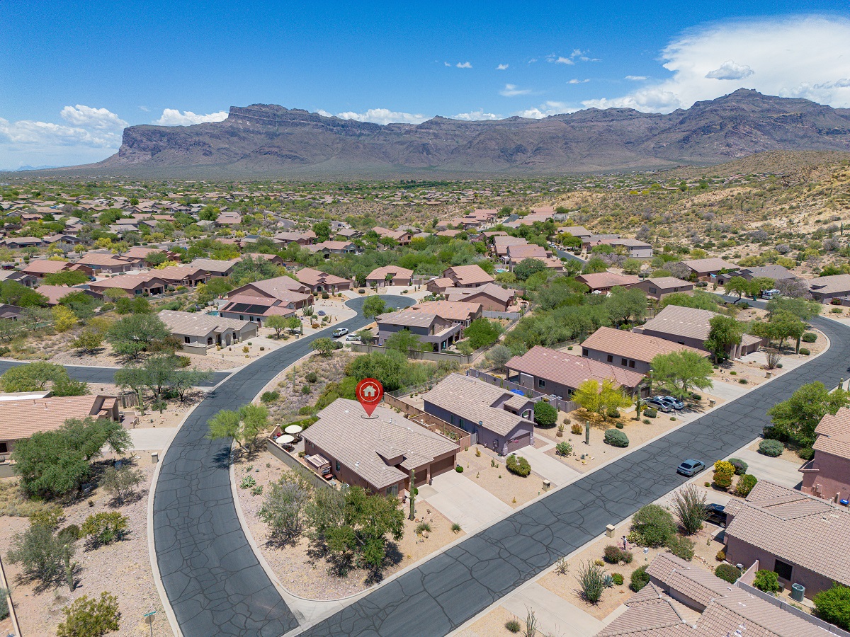
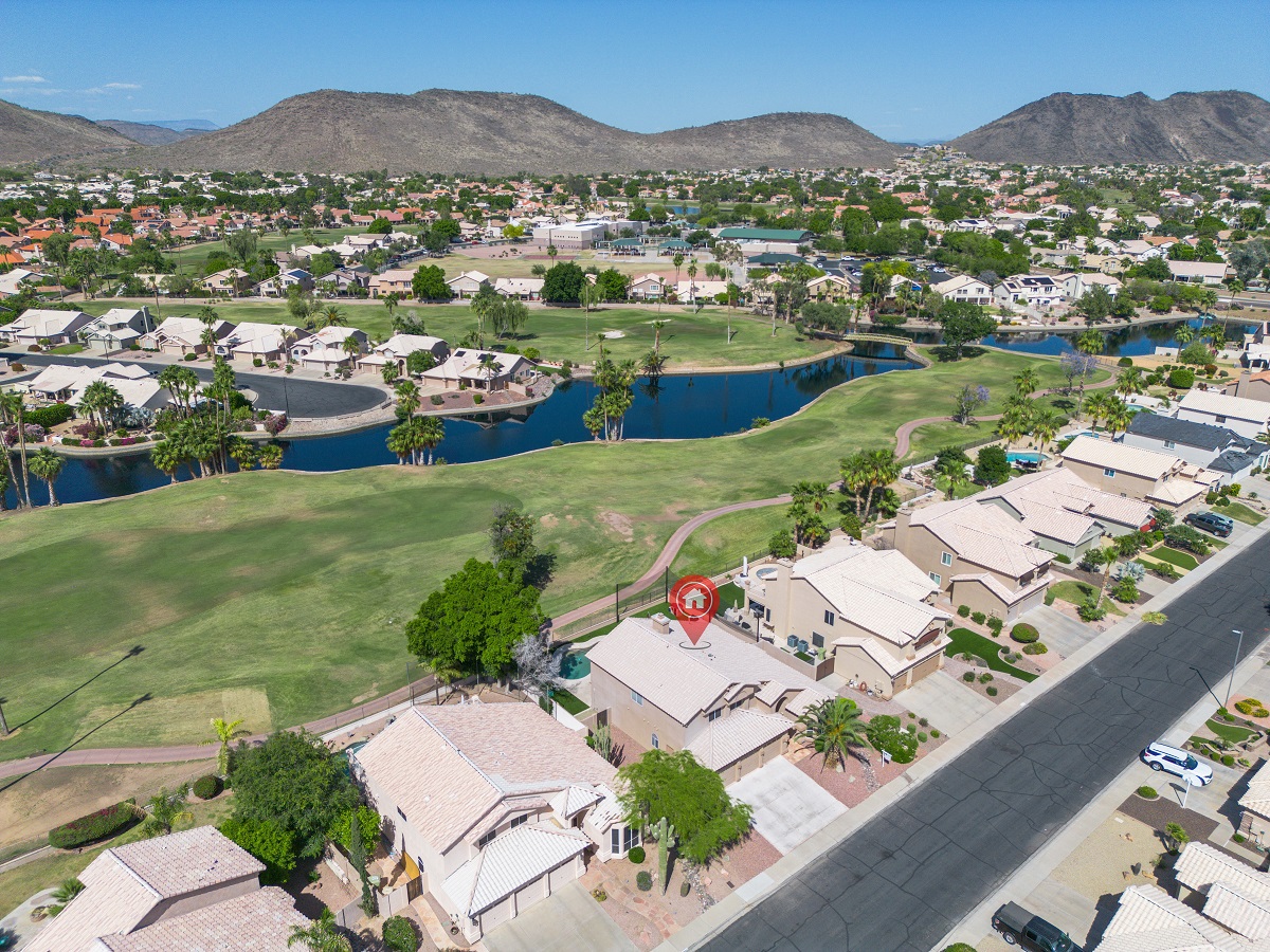
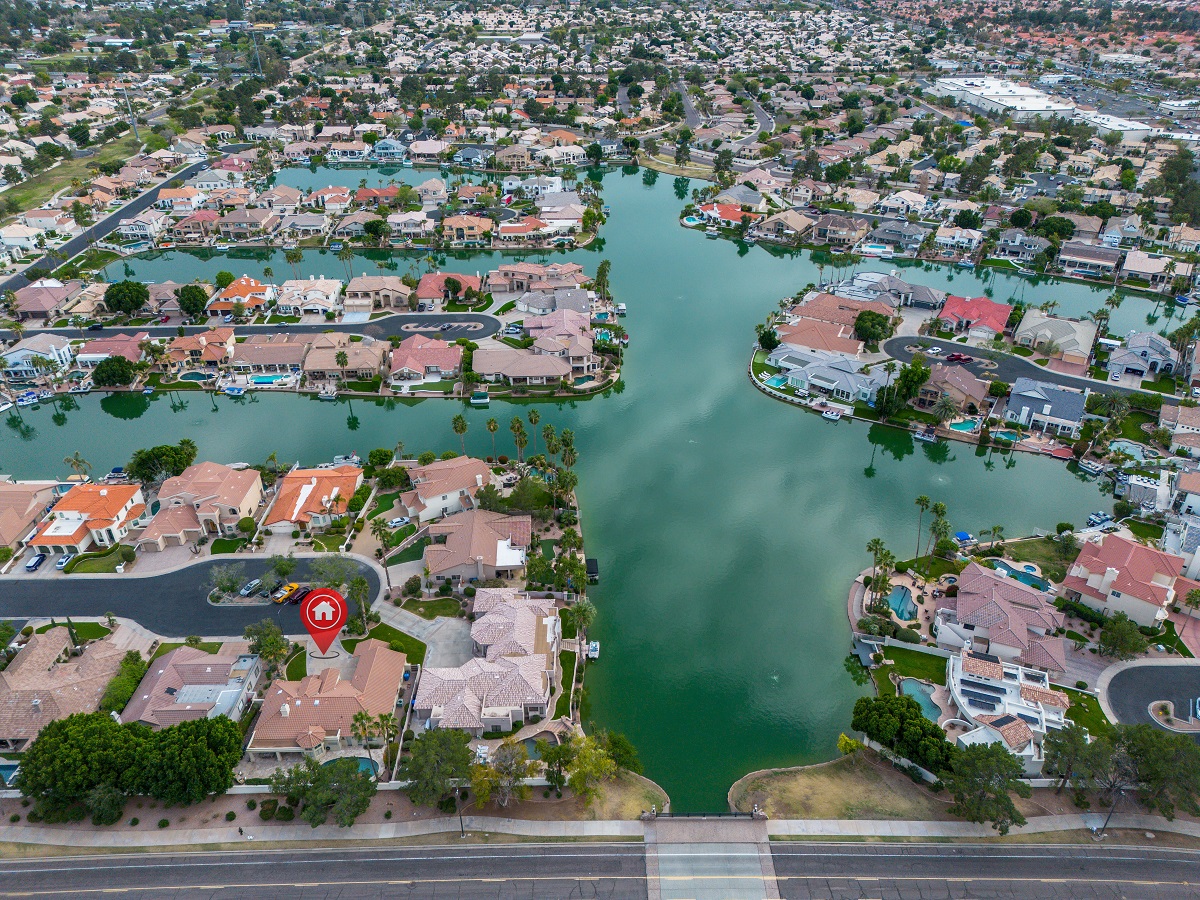
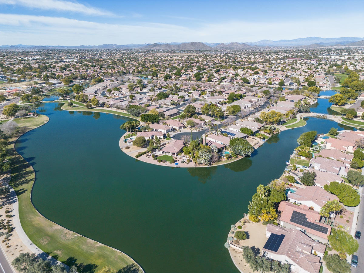
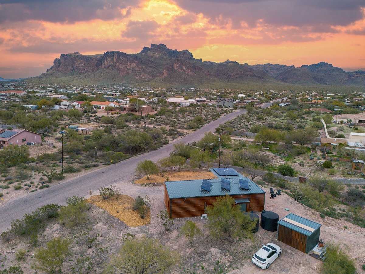
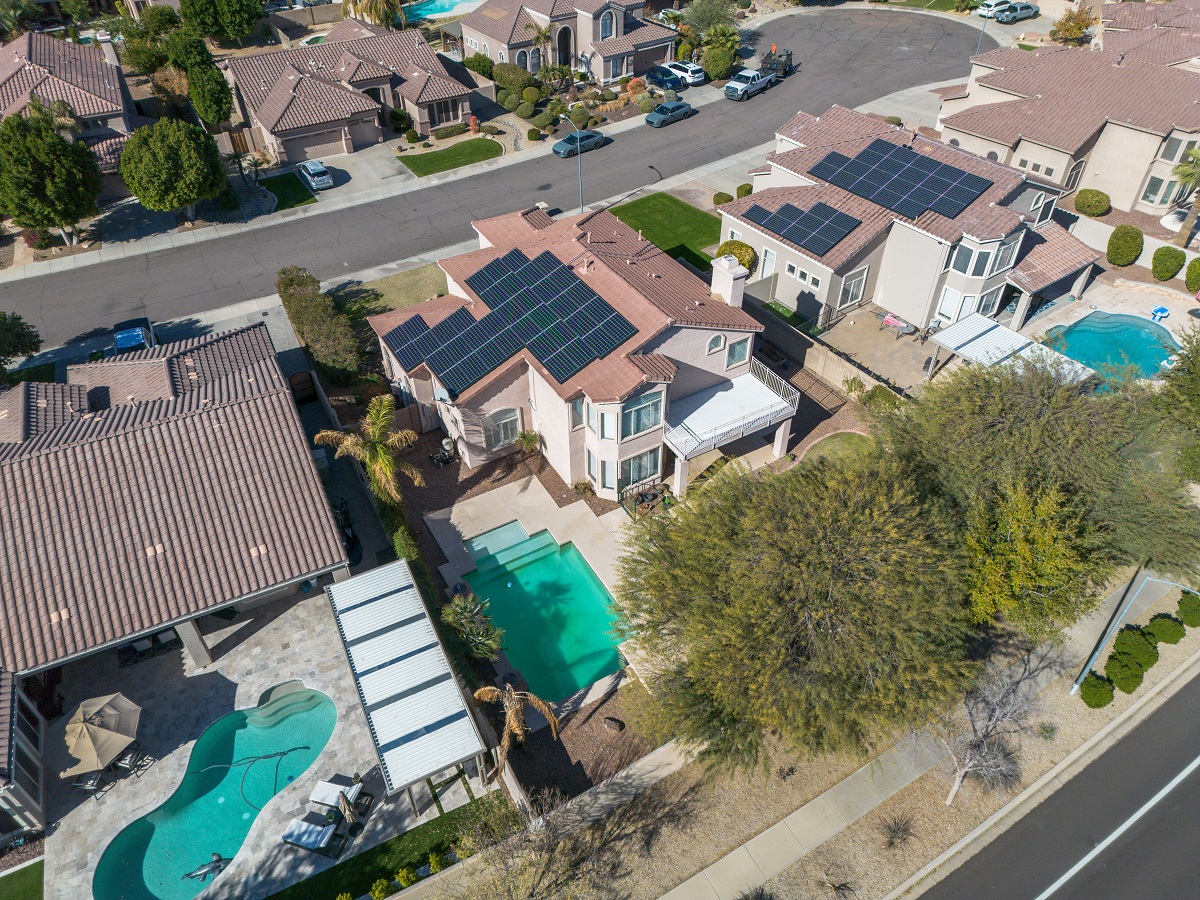
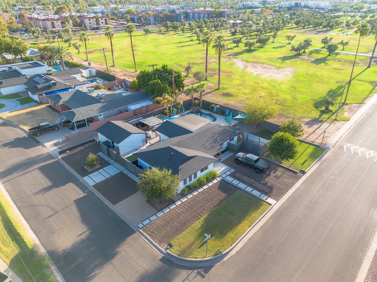
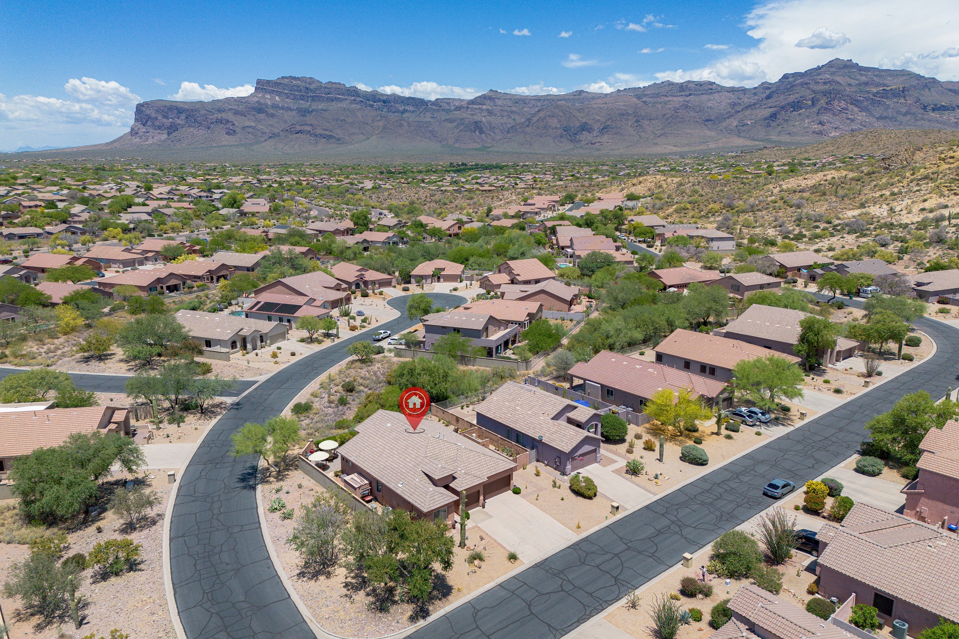
PROPERTY OVERVIEWS
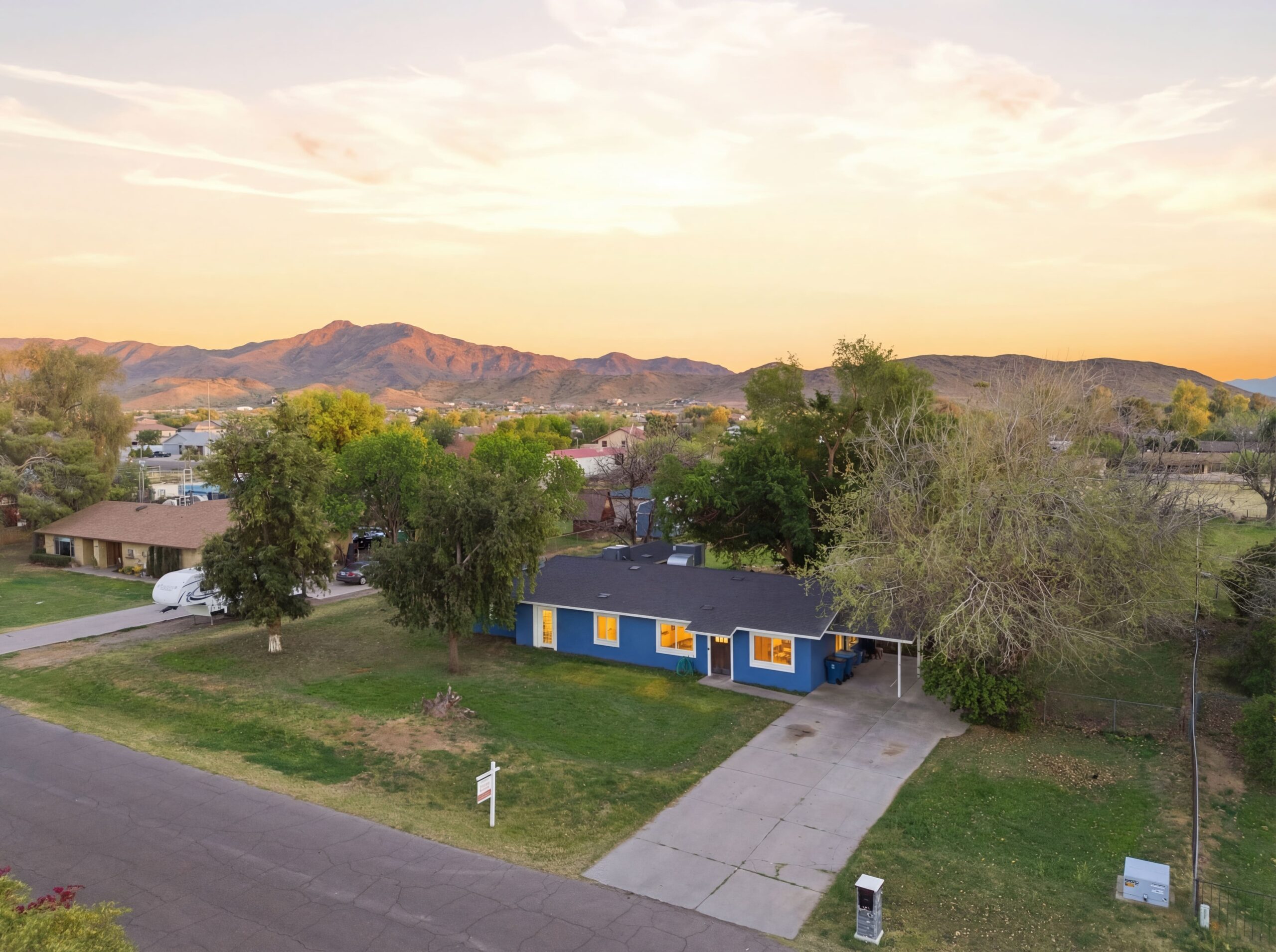
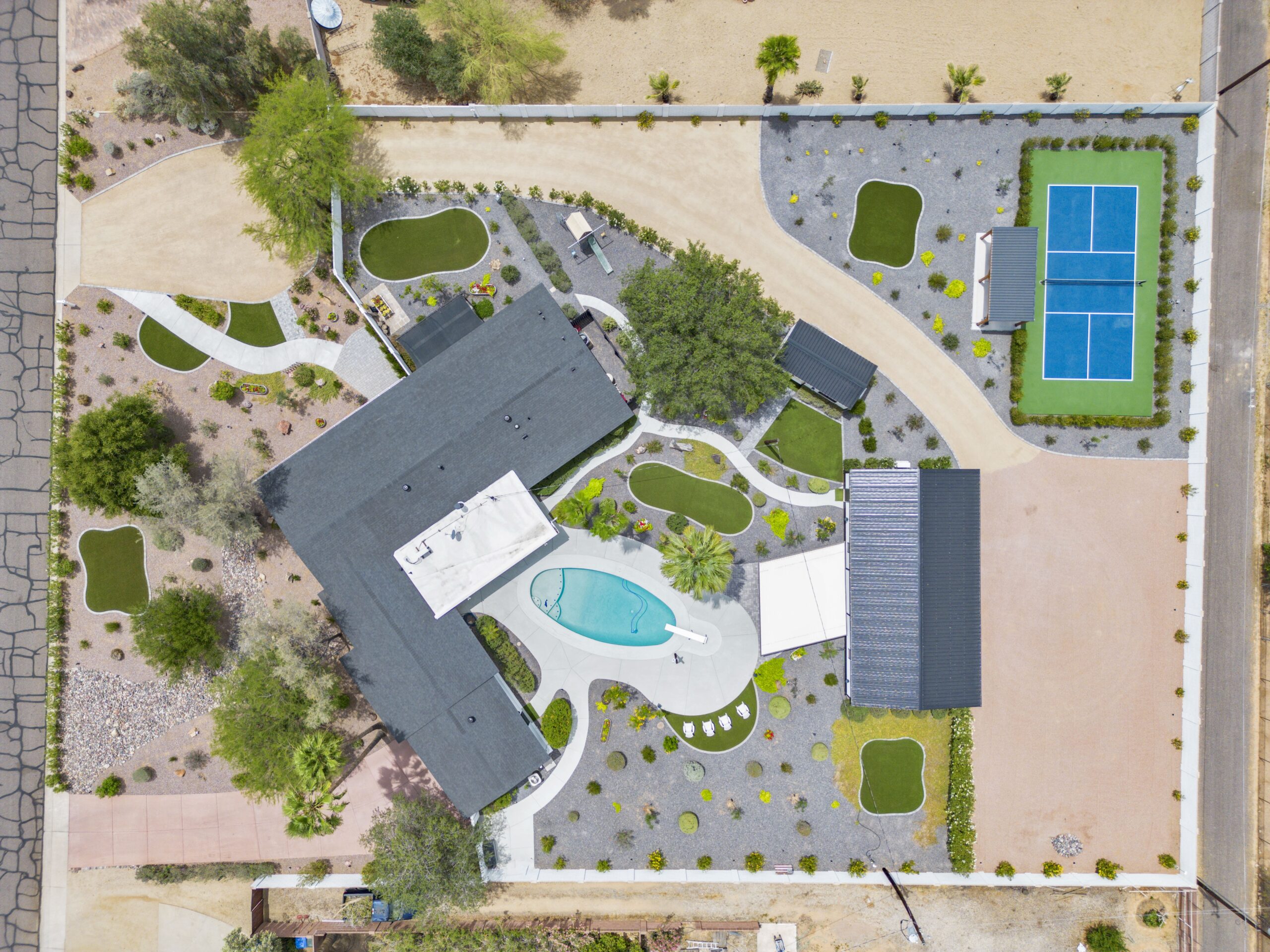
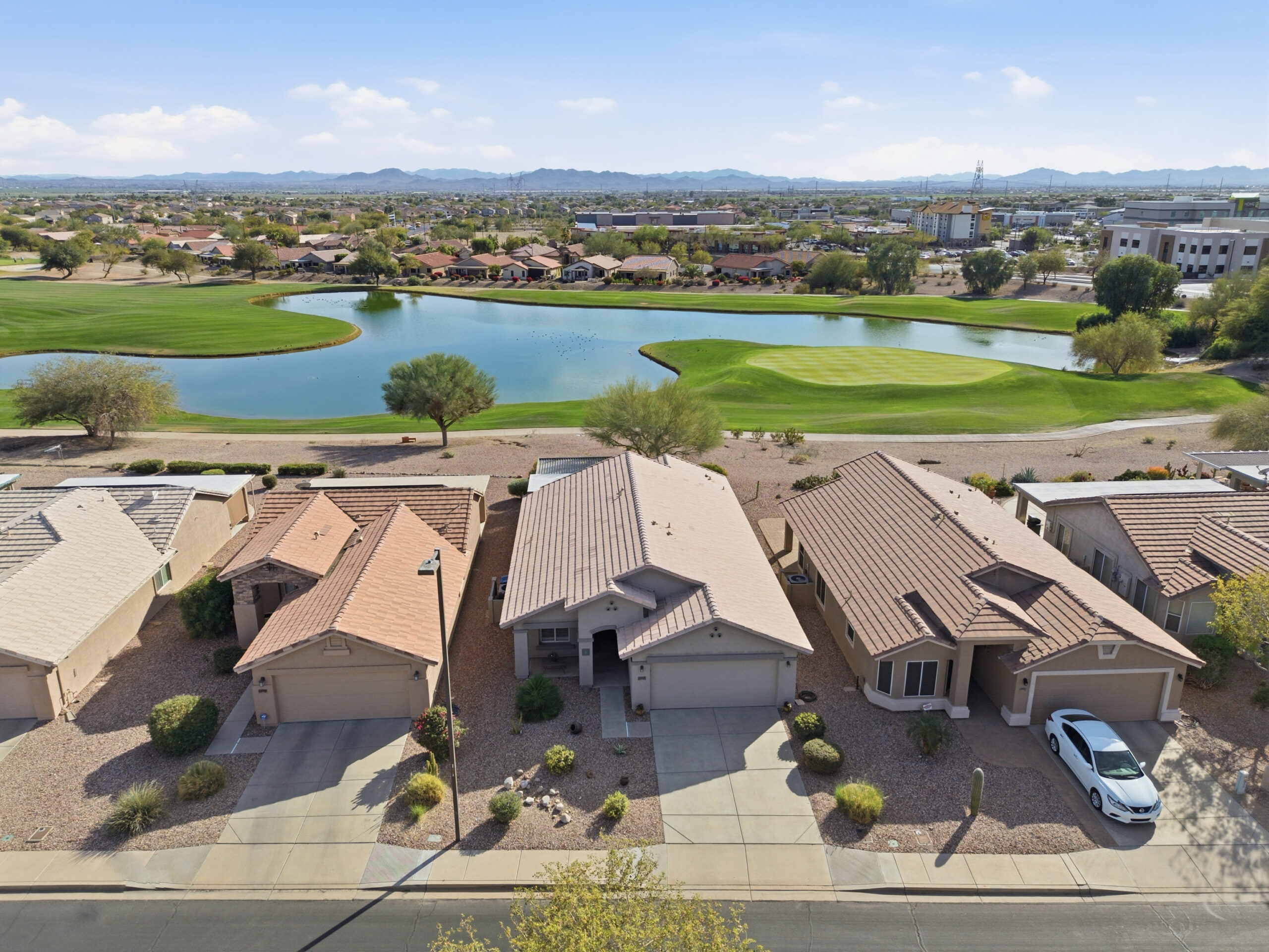
Capture the complete footprint of the land, detailing expansive backyards, roofs, acreage, and pristine structural layouts seamlessly.

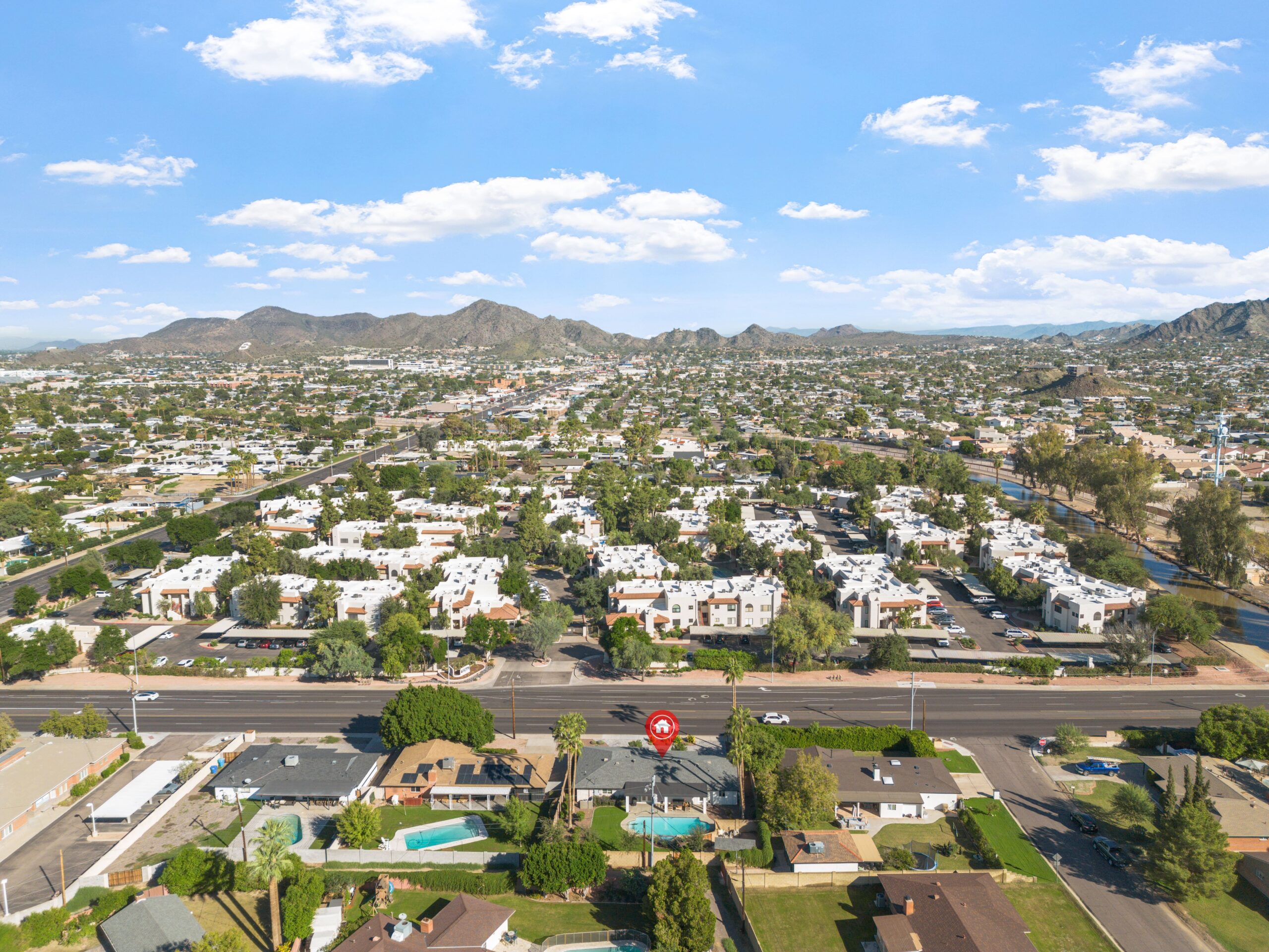
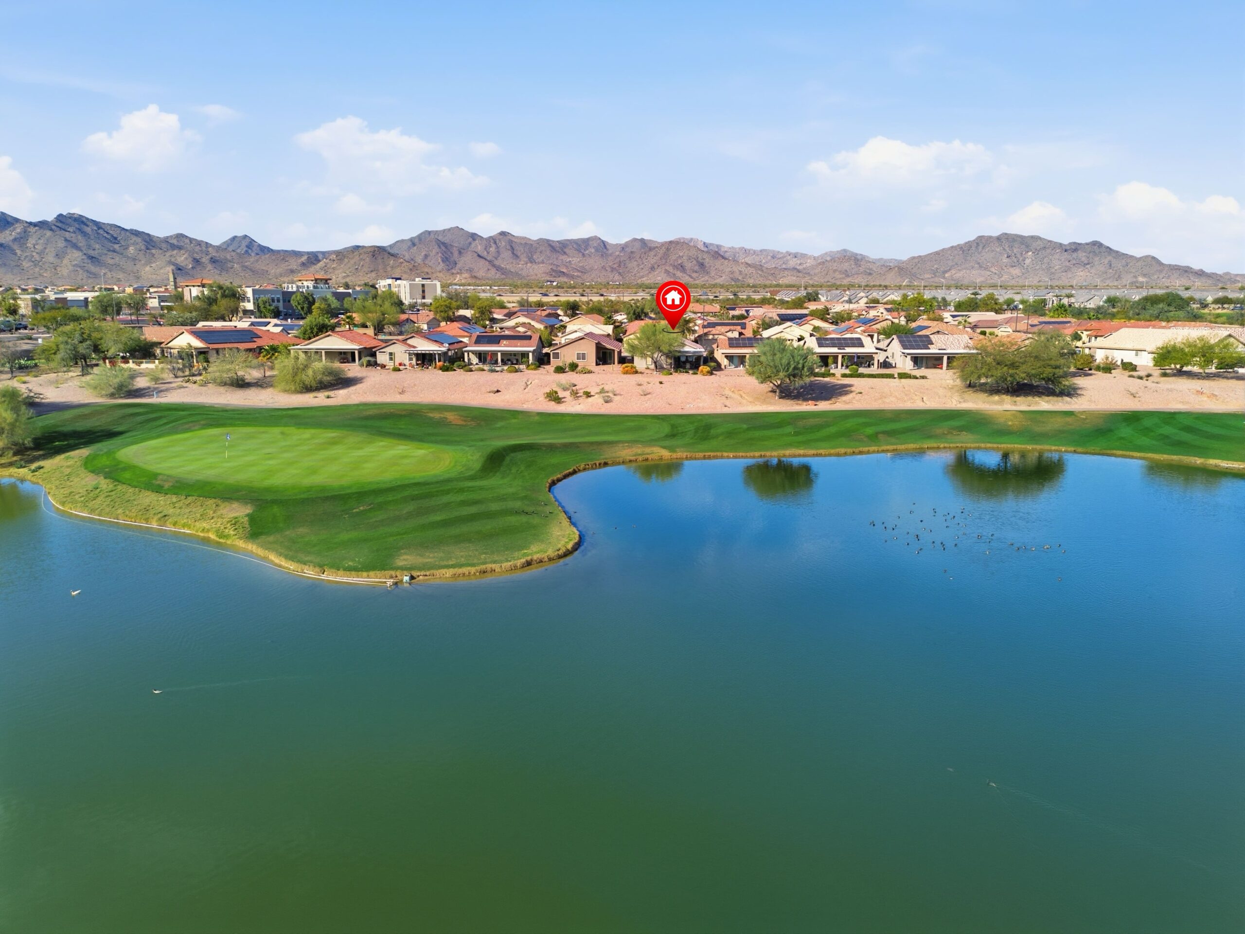
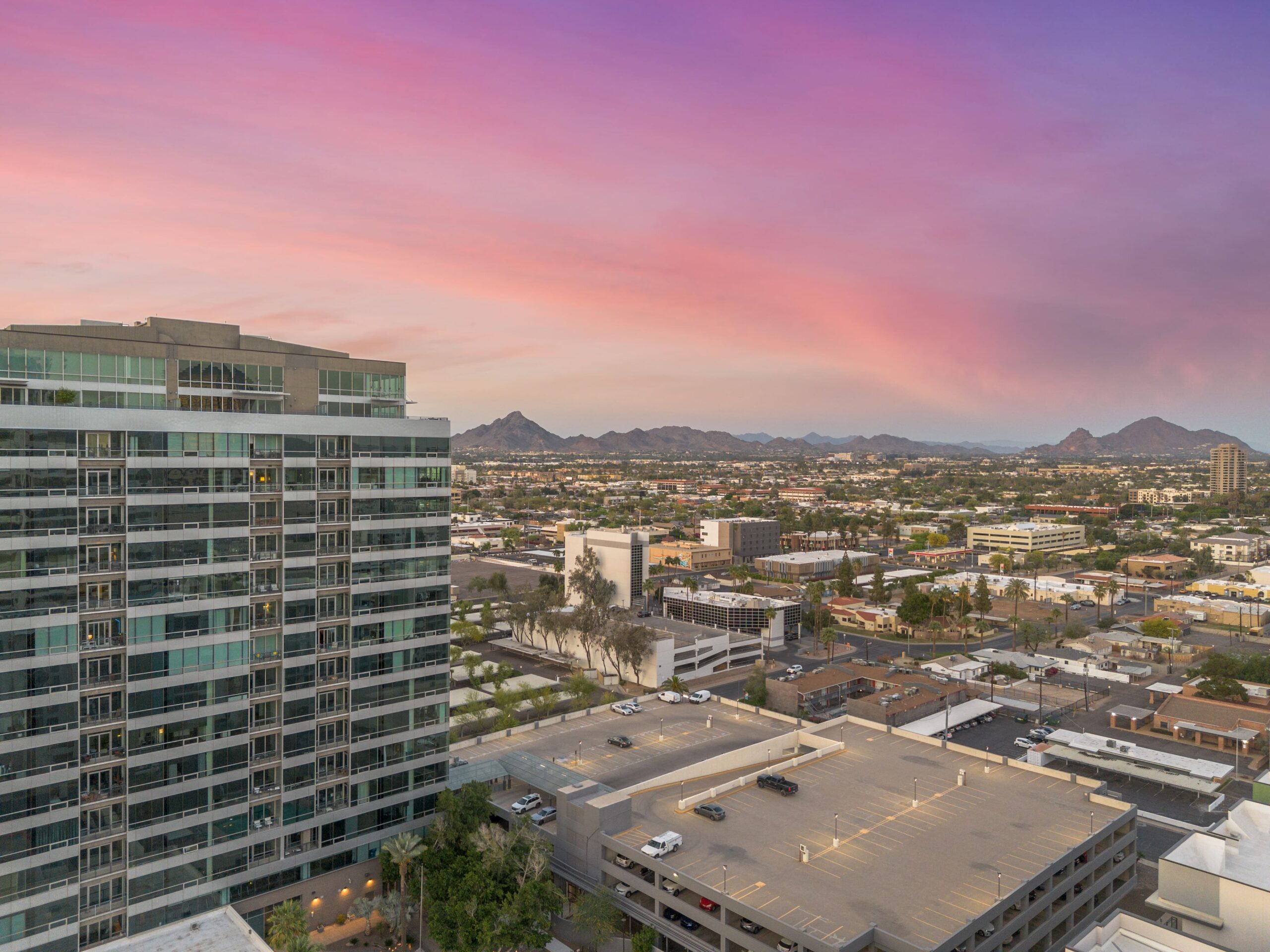
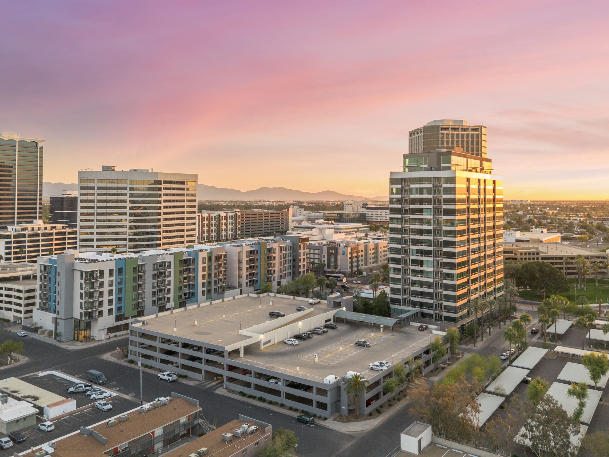
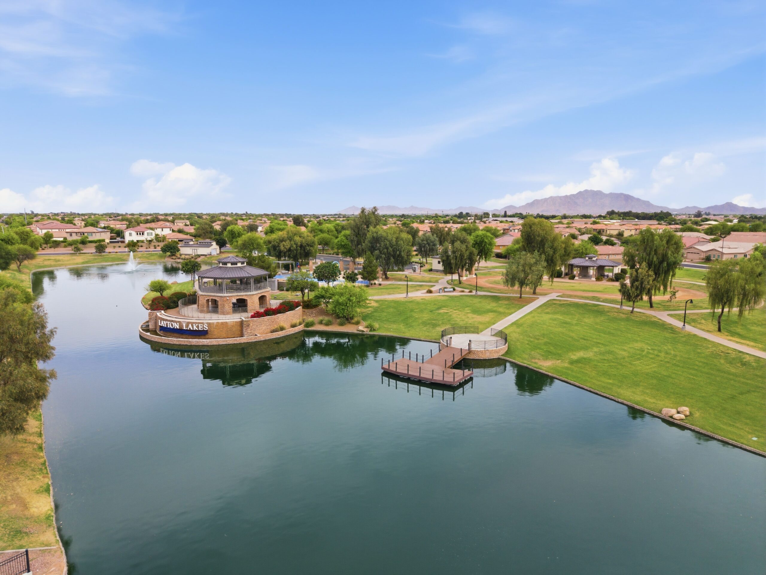
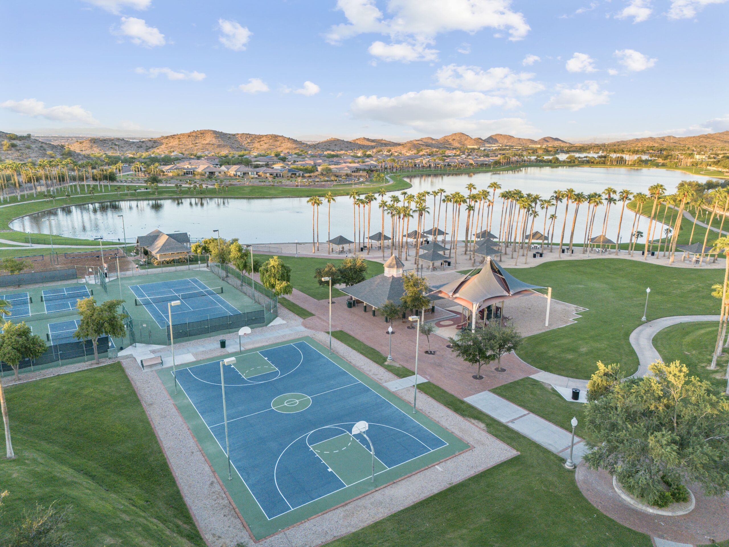
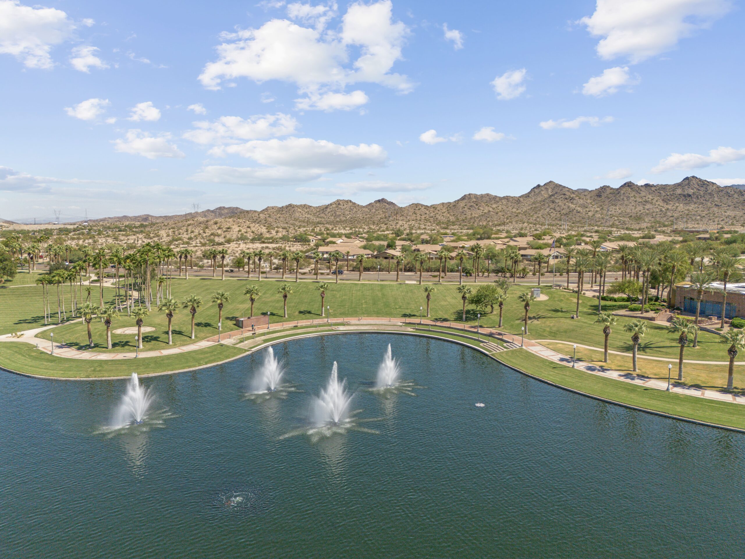
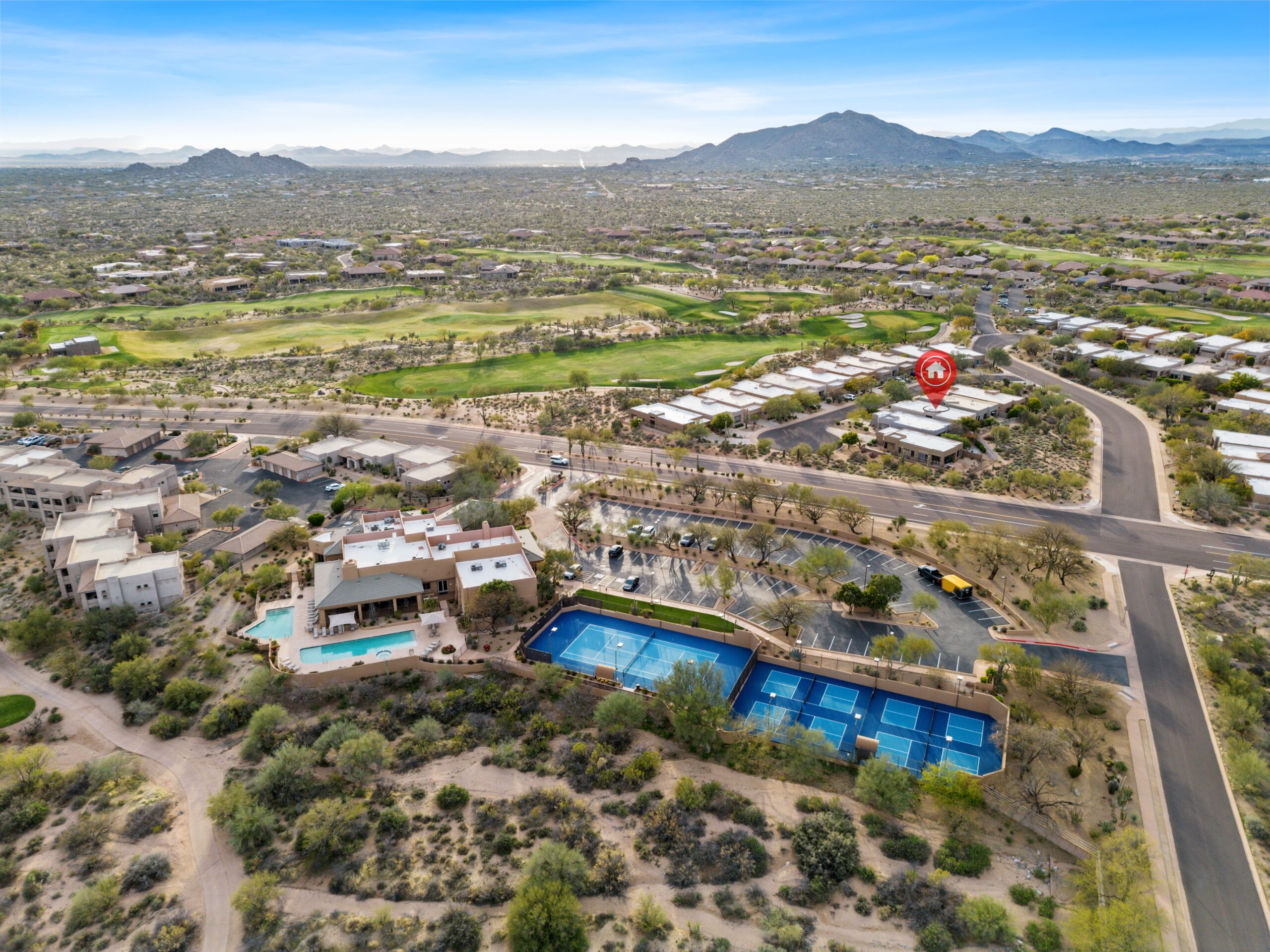
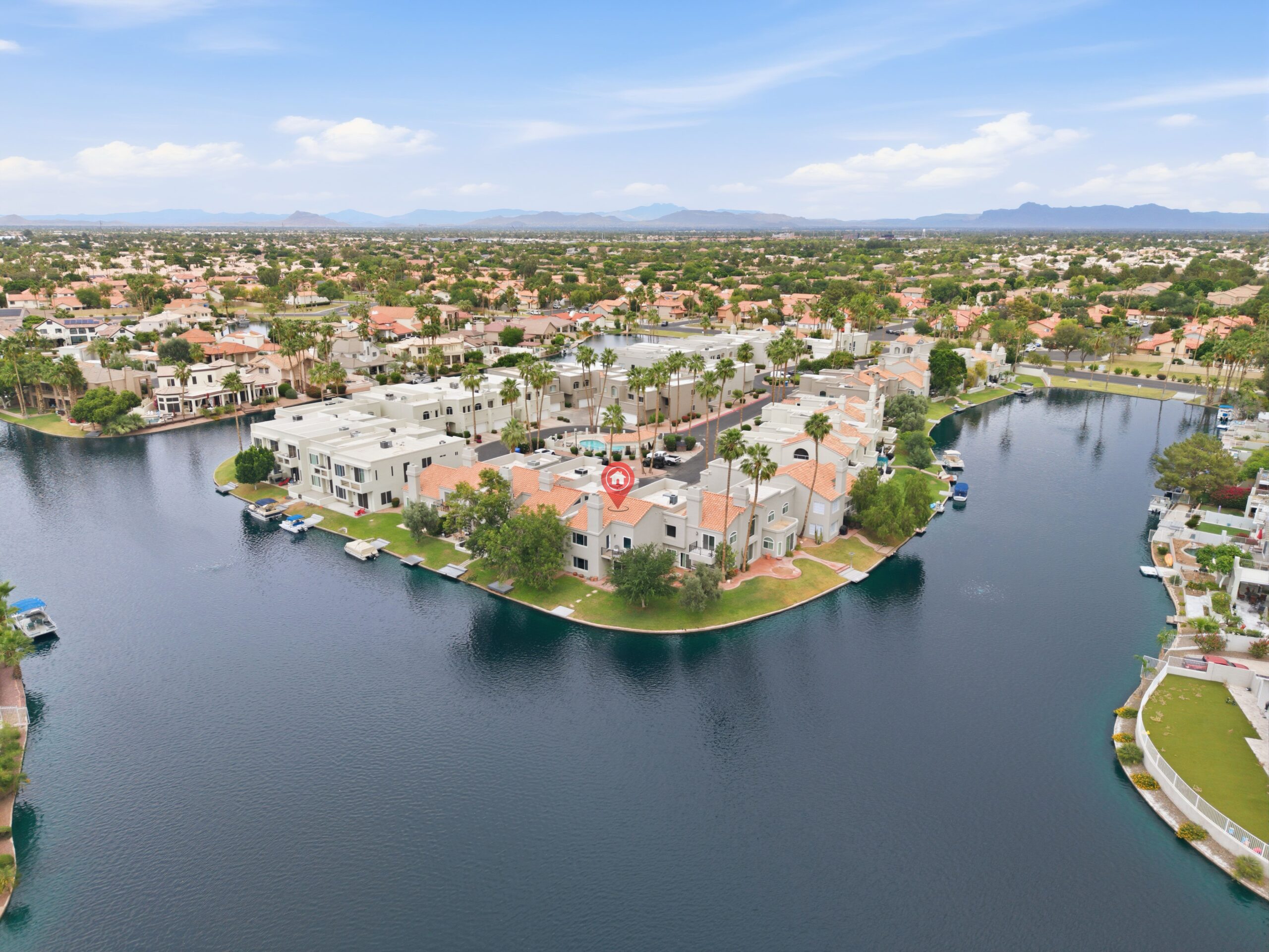
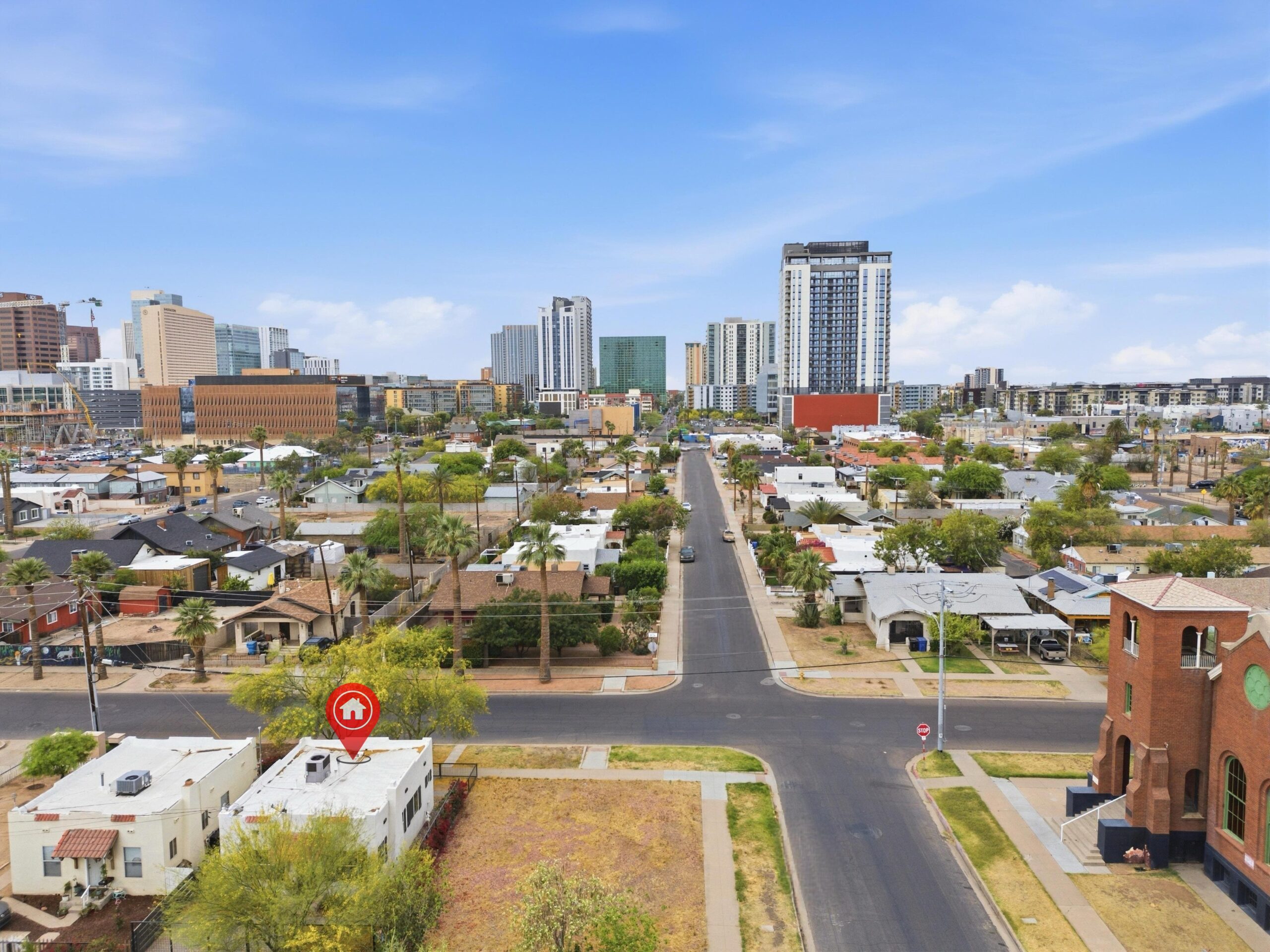
Give buyers a true sense of scale and location. Our professional FAA-licensed drone photography captures striking high-altitude views that highlight property boundaries, neighborhood context, proximity to local amenities, and stunning architectural angles that ground-level shots simply cannot reach.
FAA Part 107 Licensed & Fully Insured
High-Resolution 4K HDR Aerial Imagery
Capture the complete footprint of the land, detailing expansive backyards, roofs, acreage, and pristine structural layouts seamlessly.
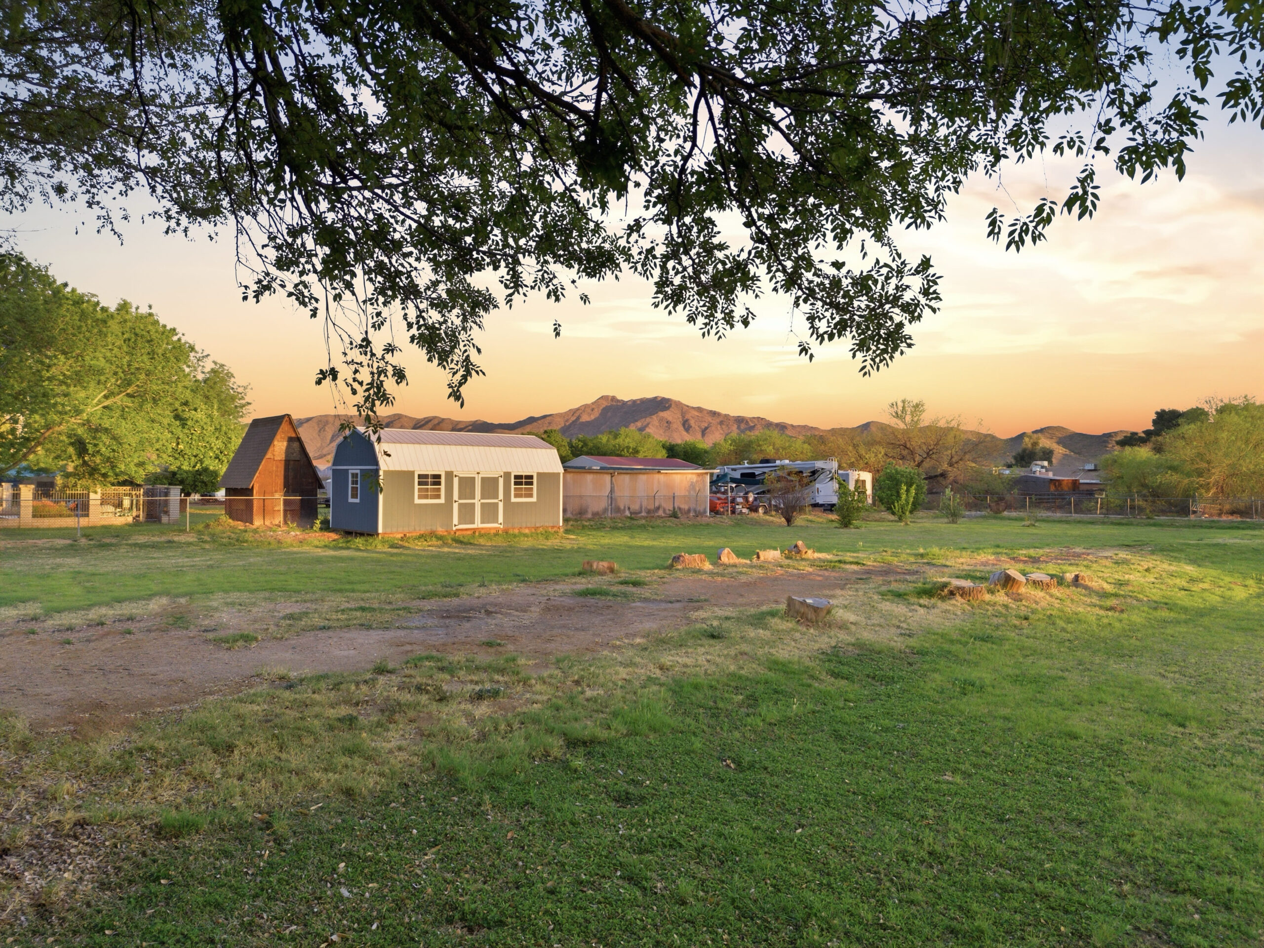
Showcase the property’s surrounding environment, highlighting nearby schools, parks, coastlines, and major neighborhood crossroads.
Perfect for marketing commercial developments, retail spaces, and massive construction projects.